Drones, Wine and Salt: Hyperspectral Imaging from Košice in Barcelona
- Ján Šašak
- Nov 24, 2025
- 2 min read

Imaging spectroscopy is a technology that makes it possible to detect different materials based on their spectral fingerprint (signature), similar to how fingerprints are unique to every person. It is used in the food industry, medicine, and in mapping the Earth’s surface.
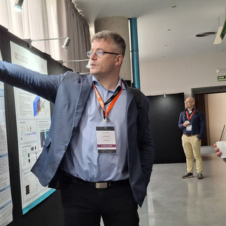
From 12–14 November 2025, experts in this technology from fields such as medicine, geography, geology, art, architecture, textile industry, environmental pollution, and satellite mapping gathered in Barcelona to share their experience and learn from one another. We were able to join this community at the international scientific conference WHISPERS 2025 at the Universitat Autònoma de Barcelona. The Institute of Geography, Faculty of Science, Pavol Jozef Šafárik University in Košice (PF UPJŠ), was represented by Assoc. Prof. Michal Gallay together with our former colleague Assoc. Prof. Ján Kaňuk, currently employed at Photomap s.r.o. Through a poster contribution, they presented the results of applying drones for hyperspectral and lidar mapping of grapevine in the Tokaj vineyards. The research was made possible thanks to our remotely piloted drones and onboard sensors purchased with the support of the European Union.
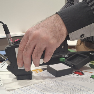
Assoc. Prof. Kaňuk presented the results of a study comparing hyperspectral data from four sources to determine the spectral stability of an intermittent salt pan in Sardinia. The contribution on vineyards arose from cooperation with the winery Ostrožovič s.r.o. and our Ukrainian colleague Assoc. Prof. Vasyl Cherlinka. Together, we processed data acquired by a remotely piloted drone equipped with sensors that, even ten years after their purchase, still rank among state-of-the-art.
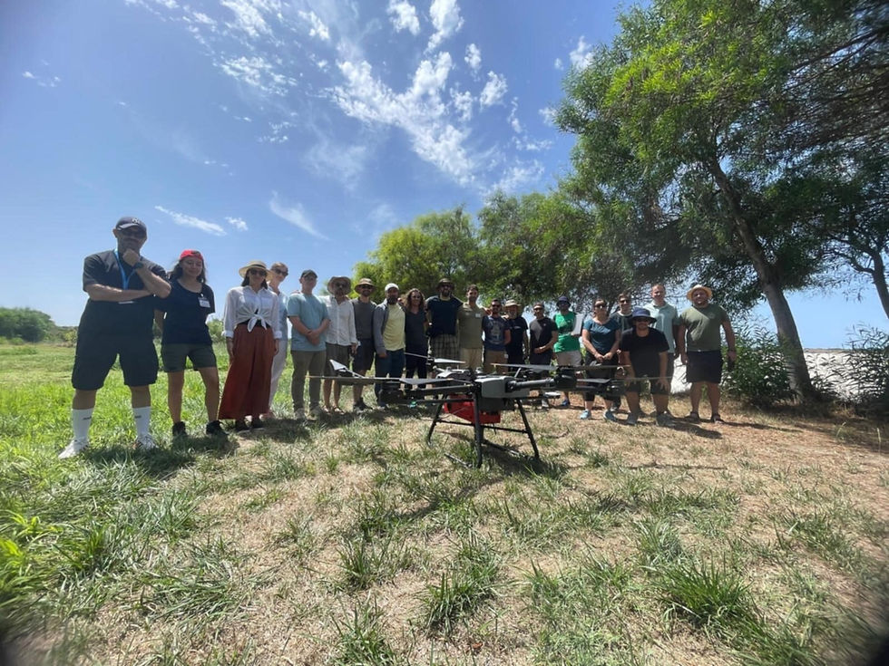
The second study is a joint activity with colleagues from the University of Cagliari and the National Institute of Geophysics and Volcanology in Rome. The data were collected during a joint summer school, and the aim is to demonstrate the suitability of an intermittently drying salt lake as a calibration site for hyperspectral satellites. There are very few such sites in the world, which makes their identification and detailed characterization extremely important for the accuracy and long-term reliability of satellite measurements.